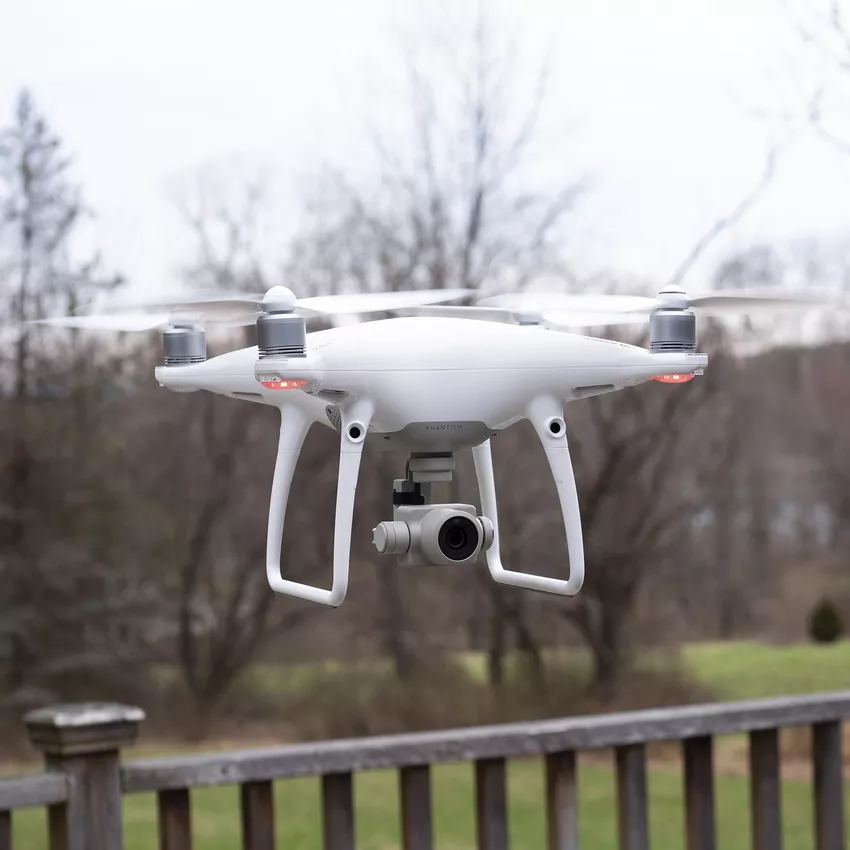
All Types of drone Survey, Photograpy and Videography Service Provide.
Explore services
Years of experience
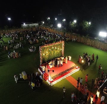
Drone Photography and videography is a widespread technique chosen for event coverages, Tourism promotion, real estate advertisement.
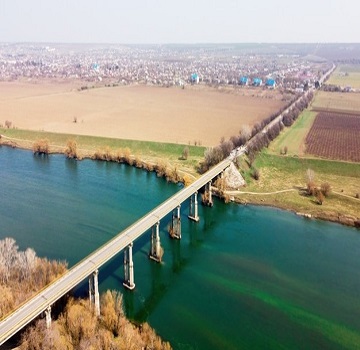
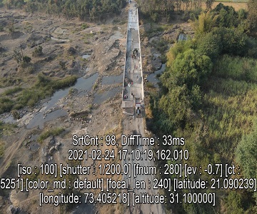
drones provide a quick road survey, precise survey mapping, time-sensitive land surveys excellent quality and accuracy of drone data.
precise survey accurate drone data Decreased Field Time and Costs More Accurate Data and Precise Measurements Maps Inaccessible Areas.
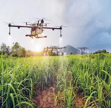
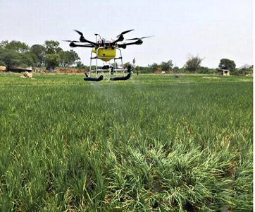
help of drone sprayer protect with pesticides and heat stroke and reduse some of work time and man power and maintaining plantation with drone at the same time.

congested area work with drone reduce time , work more efficiently and accurate work , survey with high accuracy drone photography videography.
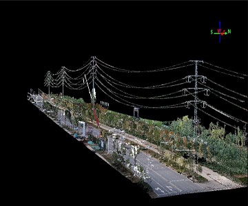
Higher-resolution visual inspections collection of high-resolution imagery and video of tower and 3d modeling.

Power line inspections are an expensive, time-consuming but there is a quieter, cleaner, cheaper option for aerial power line inspections and inspect tall structures in minimum time.
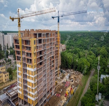
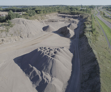
excellent quality photography and videography can be produced on-site at flexible times Contractors and construction firms can monitor their subcontractors, materials, equipment, and stockpile volumes as well.and opration progress at time as well.
Using drones makes it easy to compare your current stockpile volumes to previous surveys and track site progress, use photogrammetry to generate a 3D map accuracy to take a variety of measurements, including stockpile volumes.

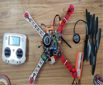
A Build your own required Drone.

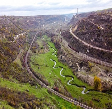
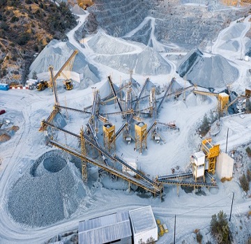
Geological mapping is a complex and time-consuming activity, UAVs) can acquire data more rapidly and less expensively final products provide geologists with a more complete and extended point of view.

High-quality photography is processed using advanced software to produce accurate measurable 3D maps.
Changing the face of work through new drone technology.
We are ambicious to our every project and deliver our best performance to the client.
Start a ProjectProject details and client requirement.
Investigate the site, Plan flight mission,aquire data, aerial images
Execute flight data processing and generate report.
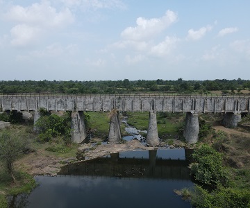
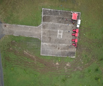
All our recent projects.
"A drone survey refers to the use of a drone, or unmanned aerial vehicle (UAV), to capture aerial data with downward-facing sensors, such as RGB or multispectral cameras, and LIDAR payloads.
Creative engineer at Rudra infotech
"A drone survey refers to the use of a drone, or unmanned aerial vehicle (UAV), to capture aerial data with downward-facing sensors, such as RGB or multispectral cameras, and LIDAR payloads.
Creative civil engineer at Rudra Infotech
All Types Of Drone Services